Preview
Description
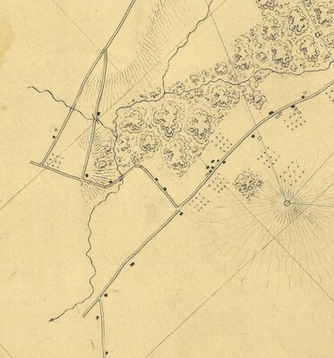
1840 United States Coast Survey, Map of Part of New York and New Jersey
Fuller map available here:
Keywords
Maps, Paramus, New Jersey, Dunkerhook


1840 United States Coast Survey, Map of Part of New York and New Jersey
Fuller map available here:
Maps, Paramus, New Jersey, Dunkerhook